
| Distance / Altitude | Location | Report Date / Time | Live Weather | Wind | Gusts | Temp. | Visibility | Cloud |
|---|---|---|---|---|---|---|---|---|
| 74.6 miles ENE / 200 ft | Puerto Penasco- Son. (Mexico) | 2025-02-14 10:00 local (2025/02/14 18:00 GMT) | - | - (- mph at -) | — | 20 | - - - | |
| 76.4 miles ENE / 25 ft | Puerto Penasco (Åland) | 2025-02-14 11:33 local (2025/02/14 19:33 GMT) | dry | light winds from the ENE (10 mph at 64) | 66.2°F | - | - - 0 | |
| 77.1 miles ENE / 30 ft | Puerto Penasco Airport (Mexico) | 2025-02-14 10:43 local (2025/02/14 18:43 GMT) | Dry and cloudy | moderate winds from the SE (15 mph at 130) | 66.2°F | 16 | overcast | |
| 96.3 miles NNE / 230 ft | Yuma (Arizona) | 2025-02-14 09:31 local (2025/02/14 17:31 GMT) | - | light winds from the N (10 mph at 360) | — | - | - - 0 | |
| 103.8 miles N / 338 ft | Wellton Airport (Arizona) (Arizona) | 2025-02-14 09:59 local (2025/02/14 17:59 GMT) | - | moderate winds from the NW (15 mph at 310) | 66.0°F | 0.0 | ||
| 110.6 miles N / 715 ft | Yuma Marine Corps Air Station Airport (Arizona) | 2025-02-14 09:57 local (2025/02/14 17:57 GMT) | Clear | light winds from the W (10 mph at 270) | 66.0°F | 16 | ||
| 112.5 miles NW / 1070 ft | Mexicali International Airport (Mexico) | 2025-02-14 10:40 local (2025/02/14 18:40 GMT) | - | moderate winds from the NW (15 mph at 310) | — | 16 | ||
| 113.1 miles N / 210 ft | Country Breeze Mobile Home Park wx (United States) | 2025-02-14 11:26 local (2025/02/14 19:26 GMT) | - | light winds from the WSW (5 mph at 256) | — | - | - - 0 | |
| 128.0 miles N / 433 ft | Laguna Army Airfield (Arizona) (Arizona) | 2025-02-14 09:55 local (2025/02/14 17:55 GMT) | Clear | moderate winds from the WSW (15 mph at 250) | 68.0°F | 16 | ||
| 133.0 miles NW / 709 ft | Imperial Airport (California) | 2025-02-14 10:53 local (2025/02/14 18:53 GMT) | Clear | strong winds from the WSW (25 mph at 250) | 71.1°F | 16 |

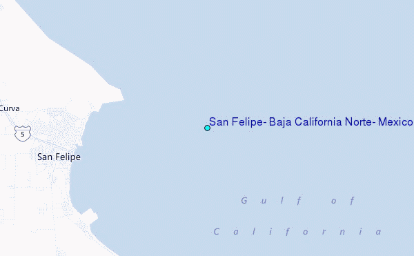
Choose San Felipe, Baja California Norte, Mexico Location Map Zoom:
| Contours: | Roads & Rivers: | Select a
tide station / surf break / city |


Use this relief map to navigate to tide stations, surf breaks and cities that are in the area of San Felipe, Baja California Norte, Mexico.
Other Nearby Locations' tide tables and tide charts to San Felipe, Baja California Norte, Mexico:
click location name for more details
 Surf breaks close to San Felipe, Baja California Norte, Mexico:
|
||
|---|---|---|
| Closest surf break | Playa San Ramon | 79 mi |
| Second closest surf break | Camalu | 80 mi |
| Third closest surf break | Cielito Lindo | 80 mi |
| Fourth closest surf break | Cabo San Quintin | 81 mi |
| Fifth closest surf break | El Socorro | 81 mi |

 Nearest