
| Distance / Altitude | Location | Report Date / Time | Live Weather | Wind | Gusts | Temp. | Visibility | Cloud |
|---|---|---|---|---|---|---|---|---|
| 4.3 miles SW / 666 ft | Guantanamo Bay Airport (Cuba) | 2025-03-24 20:51 local (2025/03/25 00:51 GMT) | - | light winds from the E (10 mph at 100) | 82.0°F | 14 | few few | |
| 44.7 miles WSW / 686 ft | Santiago De Cuba Airport (Cuba) | 2025-03-24 20:50 local (2025/03/25 00:50 GMT) | - | light winds from the N (5 mph at 1) | 80.6°F | 9.0 | few | |
| 96.3 miles WNW / 682 ft | Holguin Airport (Cuba) | 2025-03-24 20:50 local (2025/03/25 00:50 GMT) | - | moderate winds from the E (15 mph at 90) | 77.0°F | 9.0 | few | |
| 117.4 miles ENE / 49 ft | SHIP1274 (Marine) | 2025-03-24 21:00 local (2025/03/25 01:00 GMT) | near gales from the E (35 mph at 90) | 75.2°F | 8.1 km | |||
| 174.0 miles SSW / 627 ft | Kingston/Norman Manley International Airport (Jamaica) | 2025-03-24 21:00 local (2025/03/25 01:00 GMT) | - | moderate winds from the ESE (15 mph at 110) | 82.4°F | 10.0 | few | |
| 117.4 miles ENE / 10 ft | SHIP1159 (Marine) | 2025-03-24 21:00 local (2025/03/25 01:00 GMT) | near gales from the E (35 mph at 90) | 79.5°F | 9.3 | |||
| 117.4 miles ENE / 10 ft | SHIP4694 (Marine) | 2025-03-24 21:00 local (2025/03/25 01:00 GMT) | near gales from the E (35 mph at 90) | 79.5°F | 9.3 | |||
| 173.4 miles SSW / 627 ft | Kingston/Norman Manley International Airport (Jamaica) | 2025-03-24 21:00 local (2025/03/25 01:00 GMT) | - | moderate winds from the ESE (15 mph at 110) | 82.4°F | 10.0 | few | |
| 174.6 miles SSW / 249 ft | Twickenham Park wx (Jamaica) | 2025-03-24 22:10 local (2025/03/25 02:10 GMT) | - | light winds from the SE (5 mph at 132) | 80.6°F | - | - - 0 | |
| 178.3 miles S / 49 ft | SHIP4874 (Marine) | 2025-03-24 22:00 local (2025/03/25 02:00 GMT) | - (- mph at -) | — | - km |

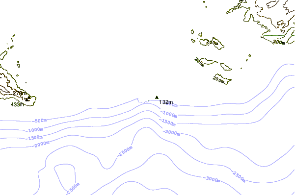
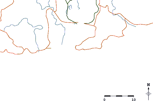
| Contours: | Roads & Rivers: | Select a
tide station / surf break / city |
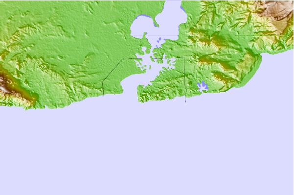
Use this relief map to navigate to tide stations, surf breaks and cities that are in the area of Guantanamo Bay, Cuba.
Other Nearby Locations' tide tables and tide charts to Guantanamo Bay, Cuba:
click location name for more details
 Surf breaks close to Guantanamo Bay, Cuba:
|
||
|---|---|---|
| Closest surf break | Winnifred Beach | 144 mi |
| Second closest surf break | Boston Bay | 144 mi |
| Third closest surf break | Long Bay | 146 mi |
| Fourth closest surf break | Navy Island | 146 mi |
| Fifth closest surf break | Peenie Wally | 151 mi |

 Nearest