
| Distance / Altitude | Location | Report Date / Time | Live Weather | Wind | Gusts | Temp. | Visibility | Cloud |
|---|---|---|---|---|---|---|---|---|
| 28.6 miles SSE / 249 ft | Twickenham Park wx (Jamaica) | 2025-03-29 09:28 local (2025/03/29 14:28 GMT) | - | light winds from the E (10 mph at 100) | 86.0°F | - | - - 0 | |
| 39.1 miles SSE / 627 ft | Kingston/Norman Manley International Airport (Jamaica) | 2025-03-29 08:00 local (2025/03/29 13:00 GMT) | - | calm (0 mph at 1) | 82.4°F | 10.0 | few | |
| 54.1 miles WSW / 633 ft | Sangster/Montego Bay Airport (Jamaica) | 2025-03-29 08:00 local (2025/03/29 13:00 GMT) | Dry and partly cloudy | light winds from the ESE (10 mph at 120) | 80.6°F | 10.0 | few scattered | |
| 81.4 miles WSW / 98 ft | Negril (Jamaica) | 2025-03-29 09:08 local (2025/03/29 14:08 GMT) | dry | calm (0 mph at 316) | 82.4°F | - | - - 0 | |
| 136.1 miles NE / 686 ft | Santiago De Cuba Airport (Cuba) | 2025-03-29 07:50 local (2025/03/29 12:50 GMT) | - | light winds from the N (5 mph at 360) | 80.6°F | 9.0 | few | |
| 160.3 miles NE / 666 ft | Guantanamo Bay Airport (Cuba) | 2025-03-29 07:51 local (2025/03/29 12:51 GMT) | Dry and partly cloudy | light winds from the NNW (10 mph at 340) | 81.0°F | 16 | few scattered | |
| 170.9 miles NNE / 682 ft | Holguin Airport (Cuba) | 2025-03-29 07:50 local (2025/03/29 12:50 GMT) | Dry and partly cloudy | light winds from the ENE (10 mph at 60) | 77.0°F | 9.0 | broken | |
| 198.2 miles W / 79 ft | Cayman Brac (Cayman Islands) | 2025-03-29 08:02 local (2025/03/29 13:02 GMT) | dry | calm (0 mph at 44) | 82.4°F | - | - - 0 | |
| 202.0 miles W / 1188 ft | Gerrard Smith Airport (Grand Cayman Is) | 2025-03-29 08:00 local (2025/03/29 13:00 GMT) | Dry and partly cloudy | light winds from the ESE (10 mph at 110) | 82.4°F | 10.0 | scattered | |
| 213.1 miles NW / 696 ft | Camaguey/Ignacio Agramonte Internationa Airport (Cuba) | 2025-03-29 07:50 local (2025/03/29 12:50 GMT) | - | moderate winds from the ENE (10 mph at 60) | 75.2°F | 9.0 | few |

| Contours: | Roads & Rivers: | Select a
tide station / surf break / city |


Use this relief map to navigate to tide stations, surf breaks and cities that are in the area of Ocho Rios.
Other Nearby Locations' tide tables and tide charts to Ocho Rios:
click location name for more details
 Surf breaks close to Ocho Rios:
|
||
|---|---|---|
| Closest surf break | Runaway Bay | 16 mi |
| Second closest surf break | Discovery Bay | 21 mi |
| Third closest surf break | Peenie Wally | 32 mi |
| Fourth closest surf break | Lighthouse 2 | 39 mi |
| Fifth closest surf break | Zoo (Bull Bay) | 40 mi |

 Nearest
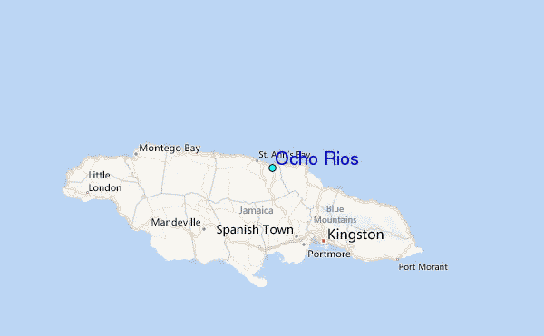