
| Distance / Altitude | Location | Report Date / Time | Live Weather | Wind | Gusts | Temp. | Visibility | Cloud |
|---|---|---|---|---|---|---|---|---|
| 0.6 miles N / 16 ft | Sun Yachts (Guernsey) | 2025-03-15 00:00 local (2025/03/15 00:00 GMT) | - | gales from the ENE (40 mph at 58) | 45.9°F | - | - - 0 | |
| 3.1 miles SW / 335 ft | Guernsey Airport (United Kingdom) | 2025-03-15 00:00 local (2025/03/15 00:00 GMT) | - | moderate winds from the NE (10 mph at 50) | — | 30 | - | |
| 3.1 miles SW / 335 ft | Guernsey Airport (United Kingdom) | 2025-03-15 00:00 local (2025/03/15 00:00 GMT) | - | moderate winds from the NE (10 mph at 50) | — | 30 | - - - | |
| 3.7 miles SSW / 558 ft | Guernsey Airport (United Kingdom) | 2025-03-14 22:50 local (2025/03/14 22:50 GMT) | - | light winds from the NE (10 mph at 40) | 42.8°F | 10.0 | few | |
| 21.7 miles SE / 1798 ft | Jersey Airport (United Kingdom) | 2025-03-14 23:20 local (2025/03/14 23:20 GMT) | Dry and partly cloudy | light winds from the NE.(Wind varies from 010 to 080 degs) (5 mph at 50) | 41.0°F | 10.0 | no cloud scattered scattered | |
| 26.1 miles SE / 177 ft | Saint Helier (United Kingdom) | 2025-03-15 00:00 local (2025/03/15 00:00 GMT) | - | - (- mph at -) | — | - | - | |
| 32.3 miles NE / 151 ft | Pointe de la hague (France) | 2025-03-15 00:00 local (2025/03/15 00:00 GMT) | - | light winds from the NE (10 mph at 49) | 40.1°F | - | - - 0 | |
| 32.9 miles NE / 26 ft | Pte DE LA Hague (France) | 2025-03-14 23:00 local (2025/03/14 23:00 GMT) | - | moderate winds from the ENE (15 mph at 60) | — | - | - - - | |
| 34.2 miles ENE / 459 ft | Vauville (France) | 2025-03-15 00:00 local (2025/03/15 00:00 GMT) | - | fresh winds from the ENE (25 mph at 59) | 41.0°F | - | - - 0 | |
| 35.4 miles NW / 10 ft | Channel Islands Buoy (Marine) | 2025-03-15 00:00 local (2025/03/15 00:00 GMT) | fresh winds from the NE (20 mph at 40) | 47.1°F | 20.4 |

| Contours: | Roads & Rivers: | Select a
tide station / surf break / city |


Use this relief map to navigate to tide stations, surf breaks and cities that are in the area of Saint Peter Port.
Other Nearby Locations' tide tables and tide charts to Saint Peter Port:
click location name for more details
 Surf breaks close to Saint Peter Port:
|
||
|---|---|---|
| Closest surf break | Portinfer | 4 mi |
| Second closest surf break | Vazon Bay - T'Otherside | 4 mi |
| Third closest surf break | Vazon Bay - Reef | 4 mi |
| Fourth closest surf break | Vazon Bay | 4 mi |
| Fifth closest surf break | Fort Le Marchant | 4 mi |

 Nearest
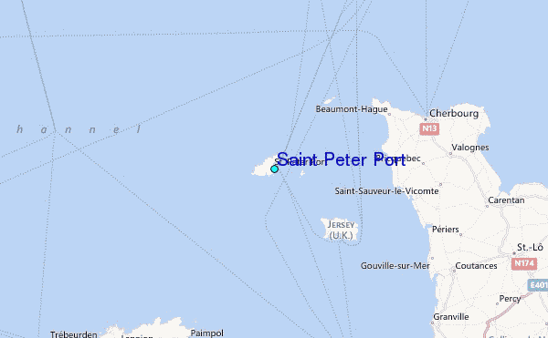